Magnitude 5.0 earthquake near Miami, Texas, is the Panhandle's strongest in over a century
A preliminary magnitude 5.0 earthquake struck the Texas Panhandle near Miami — that is Miami, TEXAS, in Roberts County, not Miami, Oklahoma — at 5:21 a.m. Thursday. The shallow quake was felt across the Panhandle and into Oklahoma and Kansas. No damage or injuries were reported.

By David Weaver
Publisher & Editor
Published July 23, 2026, 5:13 PM ET
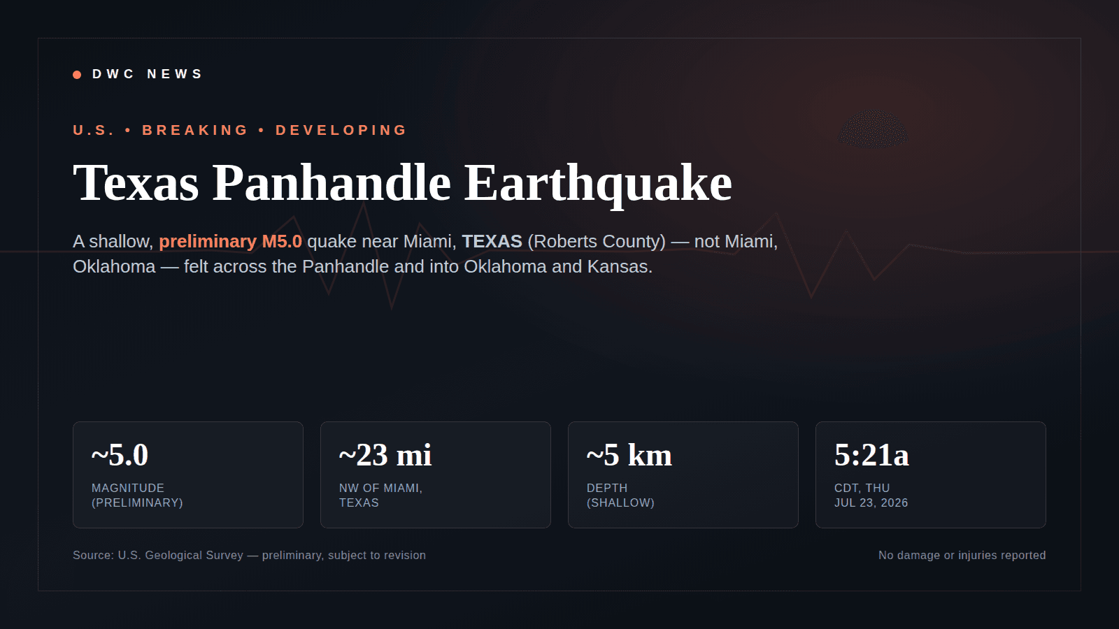
First, the thing everyone is about to get wrong: this was Miami, TEXAS — not Miami, Oklahoma.
A preliminary magnitude 5.0 earthquake struck the Texas Panhandle early Thursday, July 23, 2026, with an epicenter about 23 miles northwest of Miami, Texas, a small town in Roberts County in the northeastern Panhandle, according to the U.S. Geological Survey. Because a shallow quake this size gets felt across hundreds of miles — and because there is a much better-known Miami in Oklahoma — the search traffic scrambled instantly into a mix of "earthquake near me," "Miami earthquake" and "earthquake Oklahoma." The epicenter was in Texas. Oklahoma and Kansas are in the felt area, which is a different thing.
The magnitude is preliminary — treat 5.0 as a moving number
The USGS first posted the quake at magnitude 5.1 and then revised it toward 5.0 after seismologists reviewed the data, as Click2Houston reported. That is normal: early automatic magnitudes get refined by hand, and the number can still move up or down as more stations report. So the honest label is preliminary, subject to revision — this is a developing story.
The facts, in one place
Here is the confirmed event record, the felt-area cities, and the aftershock outlook, each tied to its source. The epicenter details and depth come from the USGS catalog; the felt reports come from regional outlets.
The Quake, Fact by Fact
Texas Panhandle earthquake near Miami: the confirmed facts
A searchable fact sheet for the July 23, 2026 earthquake near Miami, TEXAS (Roberts County) — preliminary magnitude, epicenter, depth, time, the felt-area cities across Texas, Oklahoma and Kansas, and the aftershock outlook. Event parameters are from the USGS earthquake catalog and are preliminary; nothing here is a live feed.
| Event | Magnitude | Preliminary M~5.0. USGS first posted M5.1 and revised toward 5.0 after review; subject to further revision. | USGS Latest Earthquakes |
| Event | Epicenter | About 23–24 miles NW of Miami, TEXAS — Roberts County, in the Texas Panhandle. This is Miami, Texas, not Miami, Oklahoma. | USGS Latest Earthquakes |
| Event | USGS reference points | Roughly 40 km (25 mi) N of Pampa, TX; 46 km (29 mi) ENE of Borger, TX; and 23 mi SSE of Spearman, TX. | USGS Latest Earthquakes |
| Event | Depth | Shallow, about 5 km (roughly 3 miles) — one reason it was felt so widely. | USGS Latest Earthquakes |
| Event | Origin time | 5:21 a.m. CDT (10:21:44 UTC), Thursday, July 23, 2026. | USGS Latest Earthquakes |
| Significance | Historical context | Reported as the strongest earthquake in the Texas Panhandle since at least 1900, and only the 4th M4.0+ recorded there in that period, per the USGS catalog. | USGS / Click2Houston |
| Felt area | Texas | Reported felt in Miami, Pampa, Borger, Amarillo and Lubbock. | ABC7 Amarillo |
| Felt area | Oklahoma | Reported felt in Oklahoma City, Tulsa and Lawton — driving 'earthquake Oklahoma' searches, though the epicenter was in Texas. | News 9 / Fox Weather |
| Felt area | Kansas | Shaking reported as far away as Kinsley, Kansas. | KSN News |
| Impact | Damage and injuries | None reported. USGS PAGER alert was GREEN, meaning serious damage or injuries are unlikely. | USGS Latest Earthquakes |
| Outlook | Aftershocks | Aftershocks are possible over the following week; USGS guidance put roughly a 4% chance of an M5+ aftershock within a week. None reported immediately after the mainshock. | USGS Latest Earthquakes |
| Outlook | Cause | Not determined. The Panhandle is historically quiet; peer-reviewed work has linked a regional uptick in seismicity to oil-and-gas wastewater injection, but whether THIS quake was natural or induced is unknown and would require study. | USGS / reporting |
How this is calculated
Event parameters (preliminary magnitude, epicenter location, depth and origin time) are taken from the U.S. Geological Survey's 'Latest Earthquakes' catalog for this event. The magnitude is preliminary: USGS initially posted M5.1 and revised it toward M5.0 after seismologist review, and it may change again as more data arrive. Felt-area cities and regional context are attributed to the named news outlets that reported them; the felt footprint reflects where shaking was reported, not a USGS shaking-intensity contour. Distances and depth are rounded. This is a snapshot, not a live feed — always check the USGS event page for current values.
Data as of July 22, 2026 · verified July 22, 2026 · v1
Assumptions, limitations & sources
Assumptions
- · Origin time is stated as 5:21 a.m. CDT, which equals 10:21:44 UTC on Thursday, July 23, 2026; local clock time assumes U.S. Central Daylight Time.
- · Felt-area cities reflect public and news reports of perceived shaking, not a formal USGS 'Did You Feel It?' intensity map.
Limitations
- · The magnitude is PRELIMINARY and subject to revision. USGS first posted M5.1 and revised toward M5.0; the final reviewed magnitude may differ.
- · This is a developing event. Aftershock counts, the felt area, and the magnitude can all change after publication.
- · The cause of this specific earthquake has not been determined. Whether it was natural or induced is unknown and would require dedicated study; nothing here attributes it to any human activity.
- · This table is a static snapshot from the data date, not a live seismic feed. Use the USGS 'Latest Earthquakes' map for the current record.
Sources
- USGS — Latest Earthquakes (official real-time catalog and event record) — U.S. Geological Survey, checked July 22, 2026
- Magnitude 5.1 earthquake rattles Texas Panhandle, felt in Oklahoma City — Fox Weather, checked July 22, 2026
- Magnitude 5 earthquake shakes Texas Panhandle near Miami, USGS says — ABC7 Amarillo (KVII), checked July 22, 2026
- Magnitude 5.1 earthquake jolts Texas Panhandle near Miami, strongest in over a century — KPRC2 / Click2Houston, checked July 22, 2026
- Magnitude 5 earthquake reported in the Texas Panhandle, felt into Kansas — KSN News (Wichita), checked July 22, 2026
- Oklahoma residents report tremors from 5.0-magnitude earthquake detected in Texas — News 9 (Oklahoma City), checked July 22, 2026
This is what modern SEO looks like: not just an article, but a useful resource people can return to, cite, and share. See how this newsroom is growing · See DavidWeaver's SEO packages
Where it hit, and why it was felt so far
The quake was shallow — about 5 kilometers (roughly 3 miles) deep — which is why a magnitude 5.0 shook so wide an area. The USGS placed it near several Panhandle reference points: roughly 40 km (25 mi) north of Pampa, 46 km (29 mi) east-northeast of Borger, and about 23 miles south-southeast of Spearman. The origin time was 5:21 a.m. CDT (10:21:44 UTC).
Reports of shaking spread across the region. In Texas, ABC7 Amarillo noted it was felt in Miami, Pampa, Borger, Amarillo and Lubbock. Across the state line, Oklahoma residents reported tremors in Oklahoma City, Tulsa and Lawton, and Fox Weather reported it being felt in Oklahoma City. Farther north, KSN reported shaking as far away as Kinsley, Kansas. That felt footprint — Texas, into Oklahoma, up into Kansas — is exactly what turned a rural Panhandle quake into a multi-state search event.
How significant is a 5.0 here
Very, for this specific place. The Texas Panhandle is historically quiet, and the USGS catalog frames this as the strongest earthquake in the Panhandle since at least 1900 and only the fourth magnitude-4.0-or-greater recorded there in that period, per Click2Houston’s summary of the USGS record. A magnitude 5.0 is a moderate earthquake globally; what makes this one notable is that it happened somewhere earthquakes this size essentially do not happen.
Damage, injuries, and what comes next
As of this writing, no damage or injuries have been reported. The USGS PAGER alert was green, its lowest level, meaning serious damage or casualties are unlikely. That can still change as daylight assessments come in, so treat it as the current status rather than a final tally.
On aftershocks: they are possible over the following week, and standard USGS guidance for an event this size puts roughly a 4% chance of a magnitude-5.0 or larger aftershock within a week — which also means it is far more likely there is not one. None had been reported in the immediate aftermath.
About the cause — what we will not claim
You will see the question raised, so let us be precise. The cause of this earthquake has not been determined. It is true, as context, that the Panhandle is historically calm and that peer-reviewed research has linked a broader regional uptick in seismicity to oil-and-gas wastewater injection. But whether this particular quake was natural or induced is unknown, and answering it would require dedicated study by seismologists. We are not asserting a cause here, and no source has established one.
For the live, authoritative record — the current magnitude, any revisions, and any aftershocks — go straight to the USGS "Latest Earthquakes" map. The numbers in this story are preliminary, and this remains a developing event.
Sources
- USGS — Latest Earthquakes (official real-time catalog) — U.S. Geological Survey · primary source
- Magnitude 5.1 earthquake rattles Texas Panhandle, felt in Oklahoma City — Fox Weather
- Magnitude 5 earthquake shakes Texas Panhandle near Miami, USGS says — ABC7 Amarillo (KVII)
- Magnitude 5.1 earthquake jolts Texas Panhandle near Miami, strongest in over a century — KPRC2 / Click2Houston
- Magnitude 5 earthquake reported in the Texas Panhandle, felt into Kansas — KSN News (Wichita)
- Oklahoma residents report tremors from 5.0-magnitude earthquake detected in Texas — News 9 (Oklahoma City)